Beerline
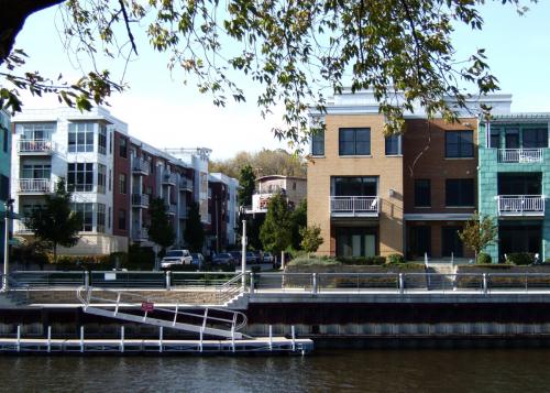
Location: Milwaukee, Wisconsin 53212. The newly redeveloped brownfield neighborhood is nestled between the river and bluffs with access to a local park and river walk.
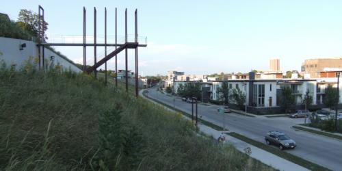
The redevelopment of the brownfield property once traversed by the "beer line" railroad involved reintroducing a street grid to the narrow stretch of land, extending an existing park (seen here) from a bluff above to the river below, adding stairways and other pedestrian connections, and coordinating the work of multiple developers and designers in creating new town homes and mixed-use buildings.
Transect Zone(s): T4 general.
Status: 76-99% Built
Guiding Charter Principle(s): 11, 17, and 18
Project or Plan's Scale: Neighborhood
Features: Bus transit, Civic buildings & parks, Waterfront.
Land area (in acres): 28
Total built area (in sq. ft.):
Total project cost (in local currency):
Retail area (in sq. ft.): 20
Office area (in sq. ft.):
Industrial area (in sq. ft.):
Number of hotel units:
Number of residential units (include live/work): 350
Civic uses (type and size): rowing club with parkspace above, marsupial pedestrian bridge, public staircases
Parks & green space (in acres): 7
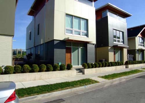
Residential types: Mid-rise/loft, Low-rise flats, Townhouse/rowhouse/maisonette, Semi-detached, Small lot detached.
Project team designers: Engberg Anderson Design Partnership; Solomon Inc., and JJR Incorporated
Project team developers: Multiple Developers: Veter Denk, Wescott Real Estate, Mandel Group, Legacy Real Estate Development
Previous site status: Brownfield (former industrial)
Starting/Ending date of construction/implementation: 1999 - 2009


