Boston's Newest Smart Growth Corridor: A Collaborative Vision for the Fairmount/Indigo Line
Location: Boston, Massachusetts, USA. low-income urban neighborhoods of SW Boston
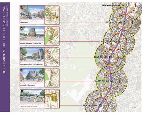
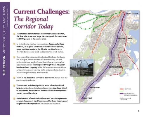
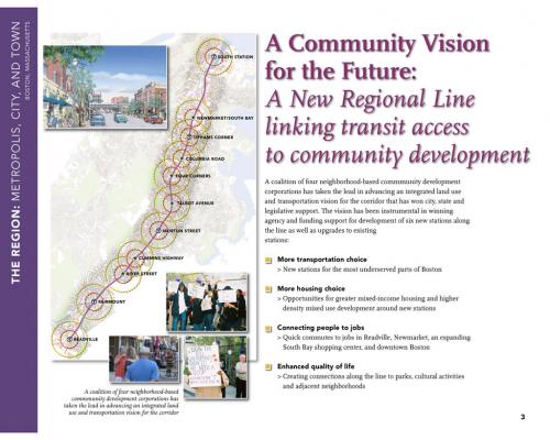
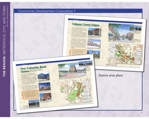
A collaborative planning team formed by four community development corporations created a vision for new, urban villages on vacant, underutilized and brownfield sites along Boston’s most underused commuter rail line -- a 10-mile transportation corridor stretching from downtown to the suburbs. The neighborhoods affected by the plan have some of the city’s highest poverty levels, the greatest dependence on public transportation, and the worst access to transit service. The plan calls for an enhanced rail line with new stations that will allow for higher-density affordable housing, better access to jobs, and for a greenway linking parks and recreational destinations.
Read more at this project's website. Transect Zone(s): T5 center.
Status: 51-75% Built
Project or Plan's Scale: Corridor
Features: Affordable/subsidized housing, Civic buildings & parks, Green buildings, Live/work, Mixed uses, Rail/fixed guideway transit, Sustainable infrastructure, Transit oriented development.
Land area (in acres): 5000
Project team designers: Goody Clancy & Associates
Project team developers: Byrne McKinnney & Associates, KKO Associates LLC
Previous site status: Redevelopment


